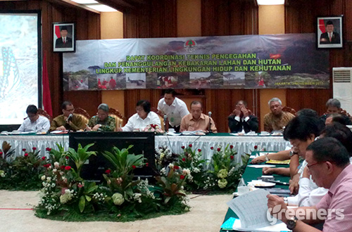
Jakarta (Greeners) – Minister of Environment and Forestry Siti Nurbaya Bakar stated that the government had mapped out the country’s peatland areas.
The map will determine which peatlands categorized as protected areas and production areas.
Furthermore, Siti said that the mapping will be conducted in three pilot provinces, South Sumatra, Riau, and Central Kalimantan.
The process, which would take two weeks, will start as soon as possible using radar pictures.
“Peatlands in protected zone are prohibited for all kinds of land conversions. Meanwhile, those located in production zone can only be planted suitable with peatlands characteristic,” she said, in Jakarta on Tuesday (03/11).
Related to permit moratorium on peatlands, Siti said that government policy was no longer in the form of moratorium or temporary halt on peatlands clearing but to stop issuing permits on peatlands.
“President stated that there will be no new permits and no new land clearings,” she said.
Meanwhile, the government has been pushed to revise the 2009 Law on Environmental Protection and Management.
At the Article 69 Section 2, there is a chance to clear lands by slash and burn in a maximum of two hectares per family to be planted with local plants.
Siti said that the government was discussing to revoke the article by issuing Government Regulation in Lieu of Law (PERPPU).
Reports by Danny Kosasih


